There are a some data sets registered in the HIS Central Catalog that are gridded products, which means that the location of each site is derived from a spatial average (e.g. equidistant points for a study area or the centroid of a polygon). Examples of these types of data services include NASA's Land Data Assimilation Systems:
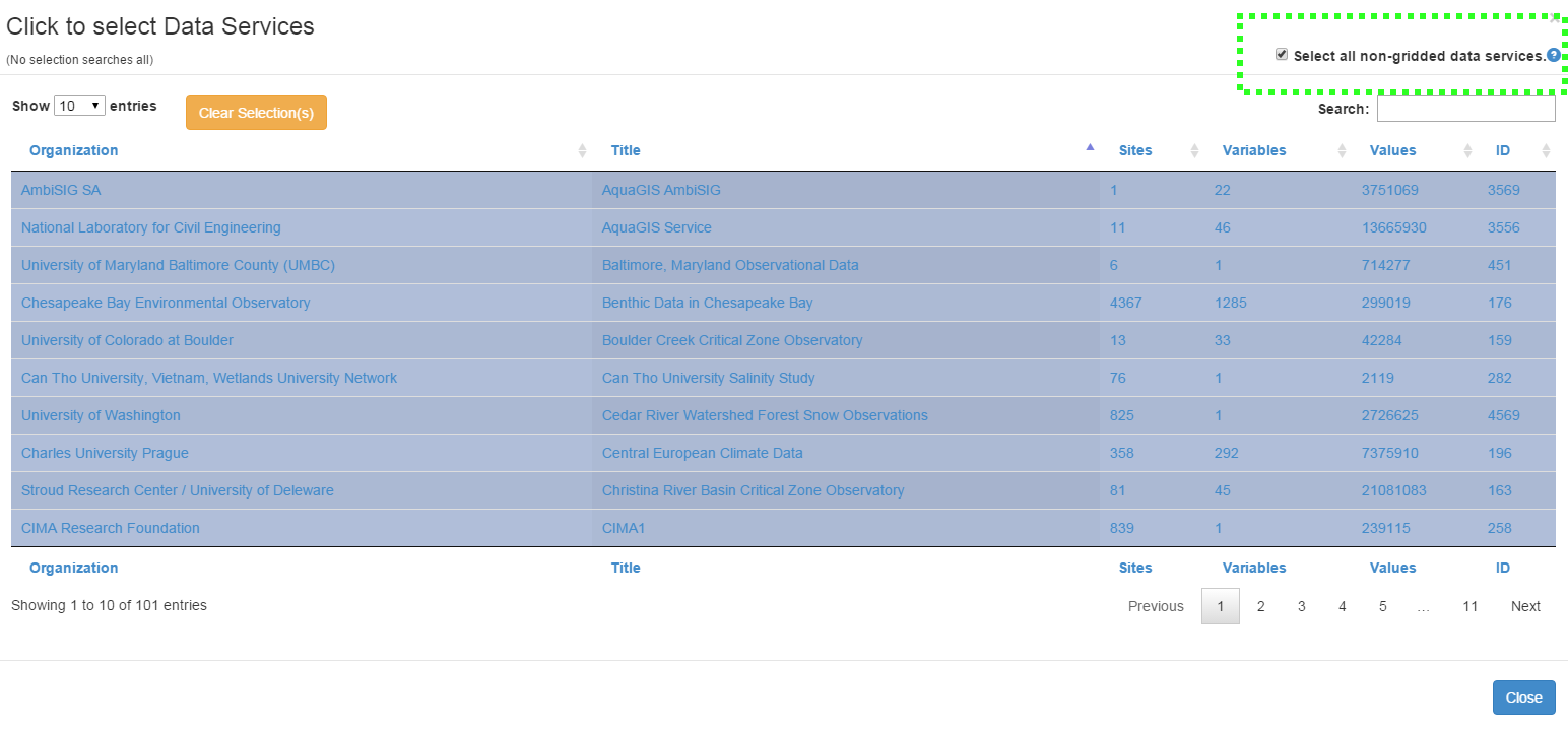
Both NLDAS data services cover the United States while GLDAS is international in coverage. Since the LDAS services contain billion of data points at hundreds of thousands of locations that could potentially clutter search results, we've built in a toggle to HydroClient to exclude these services from your search. To select all non-gridded data services, and exclude these gridded products, click the Select Data Service(s) button. In the Data Services window, ensure that Select all non-gridded data services is checked in the upper right corner of the window:

0 Comments